


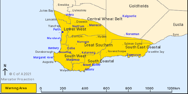
A severe weather warning now includes Mandurah, Perth and the South West.
A strong cold front will move from Jurien Bay down to Bremer Bay on Monday afternoon and into the evening bringing with it showers, thunderstorms and damaging winds of up to 100km/h.
"This is typical weather for this time of the year but winds may cause damage to property and make road conditions hazardous," a BOM spokesperson said.
Another cold front passed across the South West and Great Southern regions early on Monday morning but has now eased.
Cape Leeuwin recorded a wind gust of 94km/h at 10:35pm, while Rottnest Island recorded a wind gust of 94km/h at 1:24am.
If your home or property has significant damage, like a badly damaged roof or flooding, call the SES on 132 500.
 Peel Thunder cruise into 2026 WAFL grand final
 Two teens cautioned, one charged over brutal Falcon attack
 Nearly 100 new rentals to be built in Mandurah
 Blue swimmer crabs off limits during season closure
 Fire crews on scene of Meadow Springs house fire
 Perth's southern suburbs declared One Nation's 'heartland' after Secret Harbour by-election victory
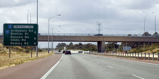 Construction contract awarded for Kwinana Freeway upgrade
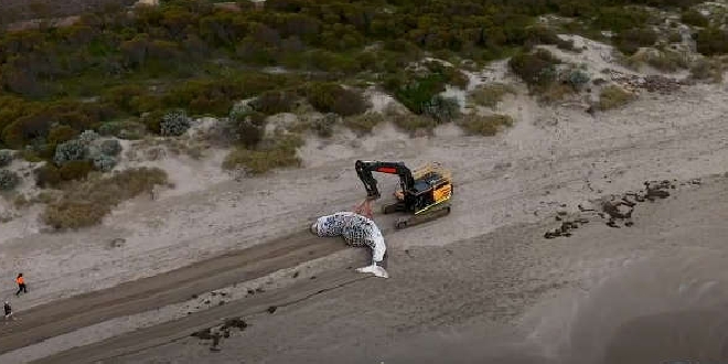 Port Kennedy humpback whale buried at landfill facility
 Secret Harbour by-election: Where to vote on August 29