


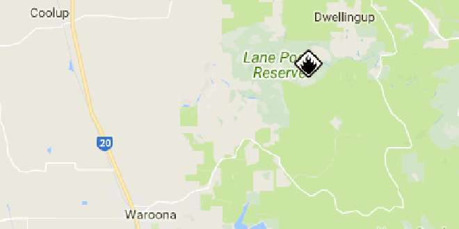
A prescribed burn will be conducted 6km south of Dwellingup to manage bushfire risk.
Parks and Wildlife Service at the Department of Biodiversity, Conservation and Attractions will carry out the planned burn on Tuesday.
Motorists should take care, turn on headlights and carefully follow traffic management signs when driving through areas affected by smoke.
People with conditions exacerbated by smoke should take precautions in line with their medical advice for these circumstances.
Prescribed burns create low-fuel areas in a mosaic of burnt and unburnt patches across the landscape, which help stem the spread of bushfires and is the primary tool available to the department to manage fuel loads, which helps protect the community by minimising the impact of bushfires.
Prescribed burn location: 6km S of Dwellingup
Date of Burn: Tuesday, 01 Aug 2017
Status: Active
Location: Keats, Federal, Nanga, Waroona, Samson & Park forest blocks
Managed by: Parks and Wildlife
Details of burns are available at www.dbca.wa.gov.au
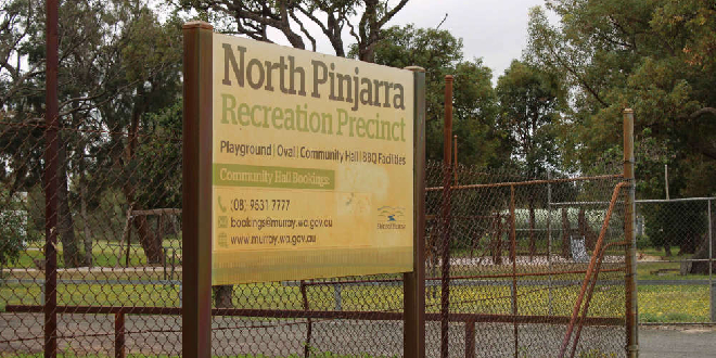 North Pinjarra community park and recreation centre to undergo $800k upgrade
 Cooloongup man charged with stealing 50m of copper cable
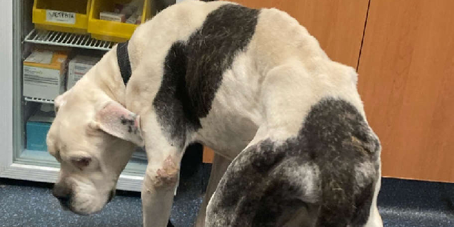 Dawesville couple convicted of shocking neglect of pet dog
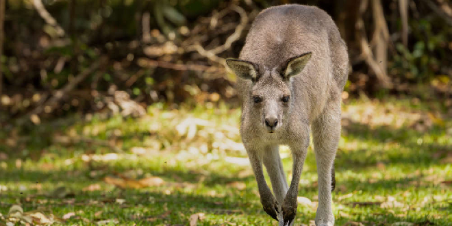 Motorcyclist seriously injured after crashing into kangaroo near Mundijong
 Daniel Bandy appointed CEO of Peel Thunder Football Club
 Dwellingup comes alive ahead of Dwellingup 100 and Mighty Jarrah Trail Run event
 Man charged, others on the run after Mandurah Forum knife incident
 Man critically injured in North Dandalup crash
 Kwinana Recquatic's swim school recognised nationally